


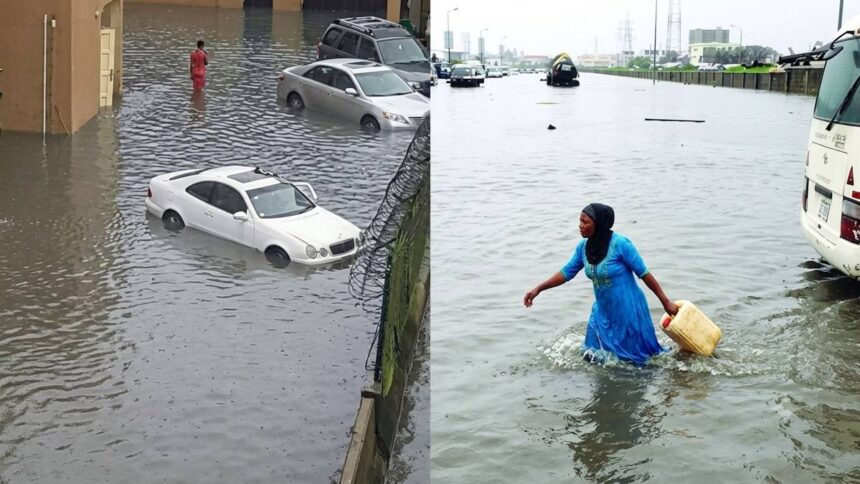
NiHSA Director General Umar Mohammed confirmed Friday in a National Flood Advisory that rising river stages are already building across Imo, Cross River, Lagos, Delta, Anambra, Benue, Akwa Ibom, Ebonyi, Abia, Bayelsa, Enugu, Edo, Kogi, Taraba, and Rivers.
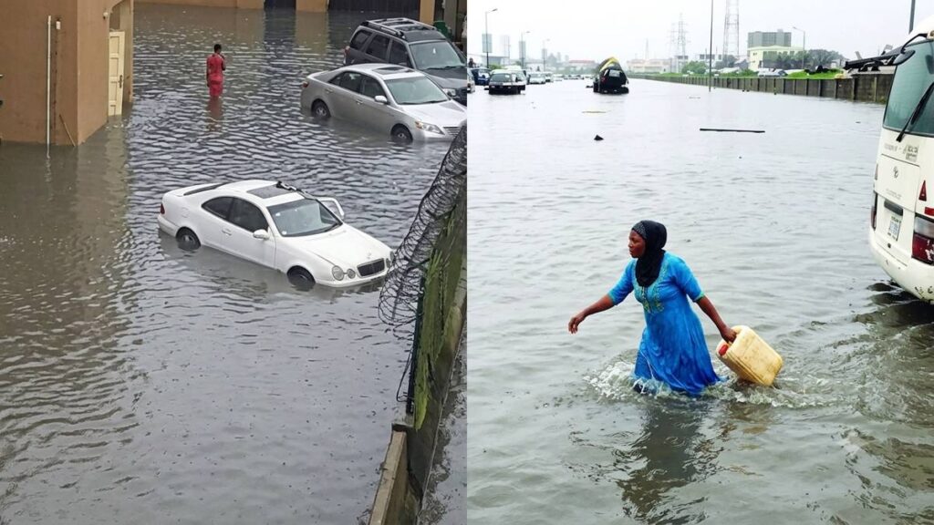
Residents living on floodplains have been told to move. Mohammed, who disclosed the advisory from Abuja, said state governments must act urgently to relocate populations to safer and higher ground before the flooding peaks across all affected areas. The warning applies to both urban and rural communities, with the advisory emphasizing that delays in relocation could expose large numbers of residents to life-threatening inundation.
“Communities on the floodplain should prepare to move to higher ground,” Mohammed said, adding that three monitoring stations on the Cross River, Obubra, Itigidi, and Epento, are already tracking the rising stages that will drive the inundation.
The numbers behind the warning are striking. In Imo State, 958 communities, 1,022 schools, 553 healthcare facilities, 161 markets, and 198 religious buildings sit directly within the projected flood path across local government areas, including Aboh-Mba, Ikeduru, and Ehime-Mb.
Cross River carries the single largest community exposure in the advisory. NiHSA identified 2,471 communities, 703 schools, 344 healthcare facilities, 145 markets, 453 religious buildings, and 854 hectares of farmland across Abi, Calabar, Ikom, Biase, Obubra, and several other local government areas as exposed.
Ebonyi follows closely. The agency counted 2,574 communities, 1,064 schools, 422 healthcare facilities, 480 markets, 629 religious buildings, and 1,882 hectares of farmland across Abakaliki, Afikpo, Ezza North, and adjoining areas as facing direct flood risk over the seven-day window.
Anambra’s exposure spans both people and land. Across Aguata, Anambra East, Ayamelum, Awka South, and other local government areas, NiHSA listed 1,314 communities, 1,308 schools, 1,089 healthcare facilities, 280 markets, 610 religious buildings, and 1,529 hectares of farmland at risk. The scale of agricultural exposure in Anambra underscores the threat the flooding poses not only to infrastructure but also to food production and livelihoods across the region.
Benue, by contrast, shows a smaller but still significant footprint. Buruku, Gboko, Guma, Katsina-Ala, Logo, and Ukum face exposure across 303 communities, 100 schools, 48 healthcare facilities, 32 markets, 151 religious buildings, and 55 hectares of farmland, according to the advisory.
Akwa Ibom rounds out the states with detailed community-level data in the advisory. NiHSA flagged 249 communities, 323 schools, 211 healthcare facilities, 74 markets, and 289 religious buildings across Abak, Eket, Etinan, Ibeno, Ibesikpo Asutan, Ibiono Ibom, Ika, and Ikono.
Schools are not the only institutions at risk during an active academic term. Mohammed confirmed that markets, healthcare facilities, and religious buildings are all within the flood path, meaning the disruption would cut across commerce, worship, and medical access simultaneously. The convergence of those sectors within the flood zone raises the prospect of compounding crises if evacuations are not completed before river levels peak.
Edo, Bayelsa, Enugu, Kogi, Delta, Abia, Taraba, and Rivers are listed among states expected to face severe impacts, though the advisory does not break down community-level figures for each of those states individually in the same detail applied to the others.
The directive to relocate is not a suggestion. Mohammed told state governments the movement of residents to higher ground is urgent, with the flood window opening the same day the advisory was issued, leaving communities minimal time to prepare or respond before water levels rise.
NiHSA’s seven-day flood warning is a live, rolling advisory. The agency tracks river stages across the country through a network of hydrological stations, and the September 19 to 25 forecast represents the current high-risk window for the 15 states named in the bulletin.